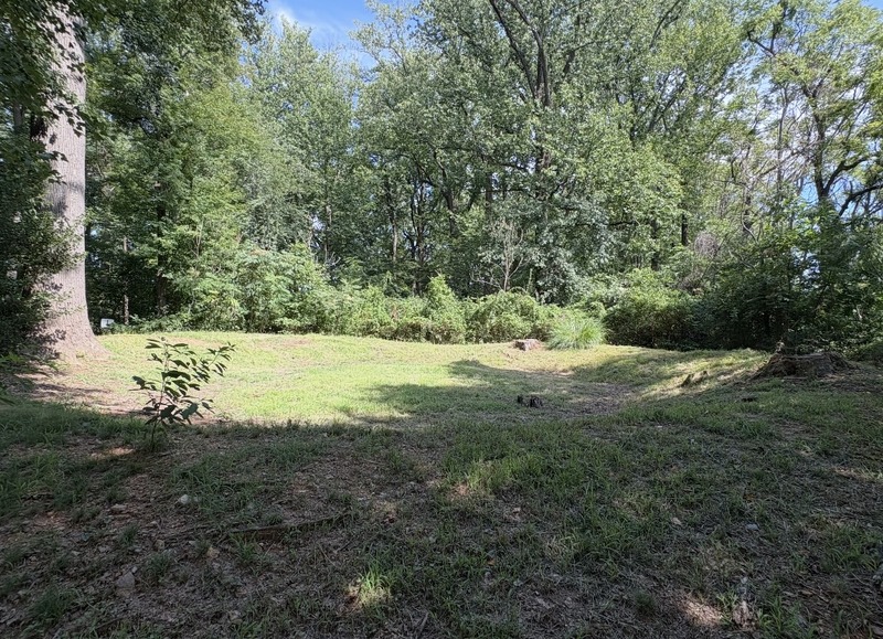
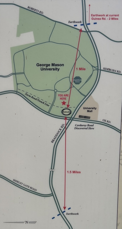
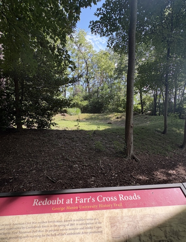
Image of a map from an interpretive sign at Farr's Redoubt located at the entrance of the trail. The map specifies the location of the redoubt, trench line, and documented earthworks constructed nearby.
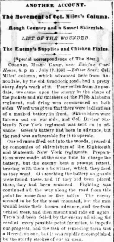
Article from The Evening Star detailing the skirmish around Farr's Crossroads on July 17, 1861. The selected section highlights the forces involved in the skirmish and the fighting retreat made by Confederate forces.
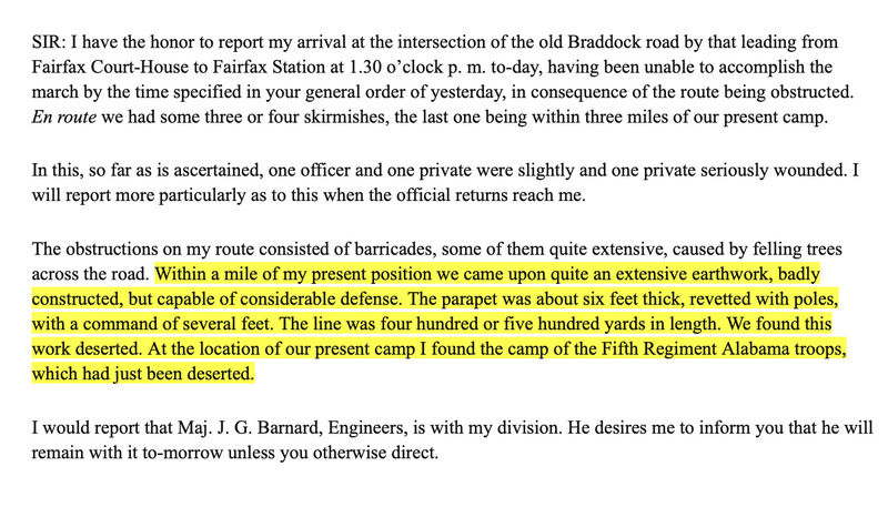
Transcription of a military report from Union Colonel Dixon S. Miles on July 17th, 1861 from "The War of The Rebellion" record series. The report details skirmishes near Farr's Crossroads, including a description of an earthen fortification near the befallen 5th Alabama Regiment camp.
The second image included is the original report from the text.
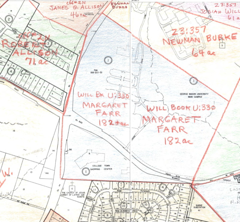
Map showing land ownership of Fairfax County in 1860 based off of historic records. The included section shows the land owned by Margaret C. Farr, combining section 68-1 and 68-2.
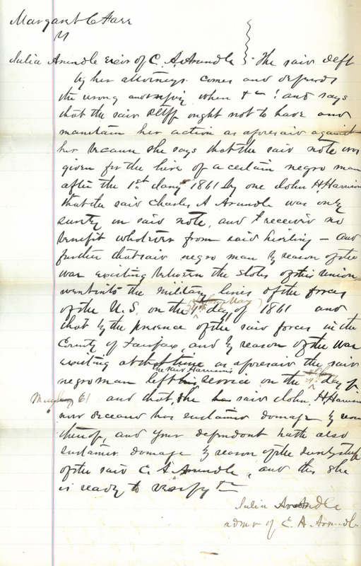
Section of a debt complaint case from 1876 for the hire of an enslaved man named Burr owned by Margaret C. Farr. Margaret C. Farr hired Burr out in 1860 and was never paid. The included section reveals that Burr escaped to Union Lines on or around May 24th, 1861.
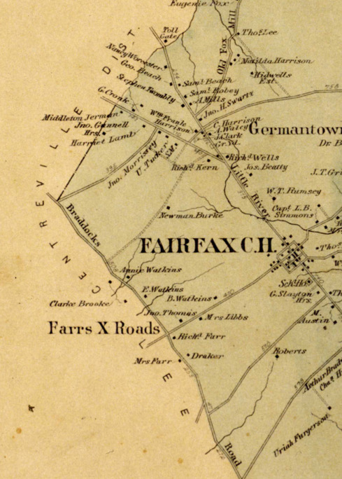
Cutout of an 1878 cadastral map of Fairfax County published in an atlas created by G. M. Hopkins and Company. Farr's Crossroads is labelled and Richard Farr II is marked as a property owner nearby.
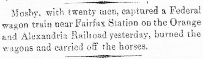
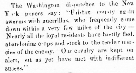
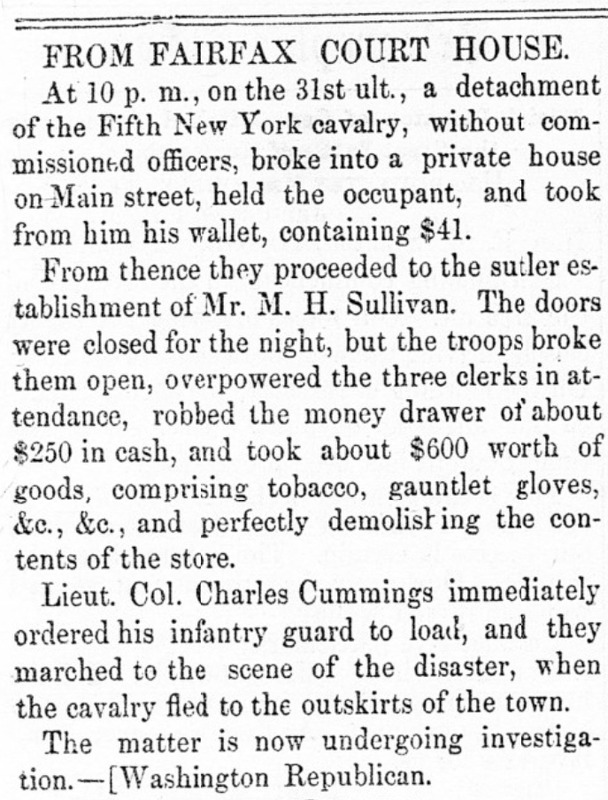
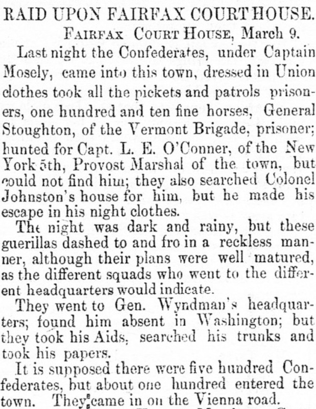
Article from the Alexandria Gazette detailing Mosby's infamous night raid upon Fairfax Courthouse on March 9th 1863 where he managed to successfully capture Union General Edwin H. Stoughton and other Union troops/horses at Fairfax Courthouse. In the article, Mosby's name is either spelled incorrectly as Mosely, or he was mistaken for a different Confederate Captain named Captain William P. Moseley.