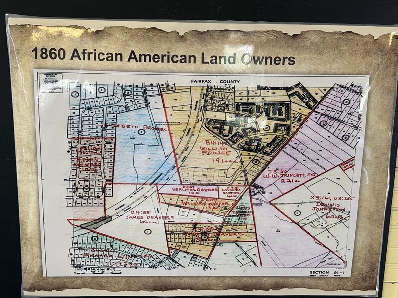
1860 African American Land Owners Map
Item
- Title
- 1860 African American Land Owners Map
- Description
- William Jasper's 13 acres in the bottom center of the map. Colored map highlighting African American property owners found in the Laurel Grove School Museum.
- Date Created
- April 10, 2023.
- Publisher
- Laurel Grove School Museum Website, Documents Page.
- Contributor
- Fairfax County Court House Archives
- Creator
- Robinson, Rachel.
- Item sets
- BLND: Geographies of Inequity
- Site pages
- A Brief History of Black Life in Franconia

